GPlates

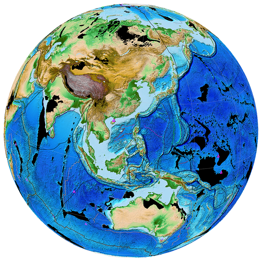
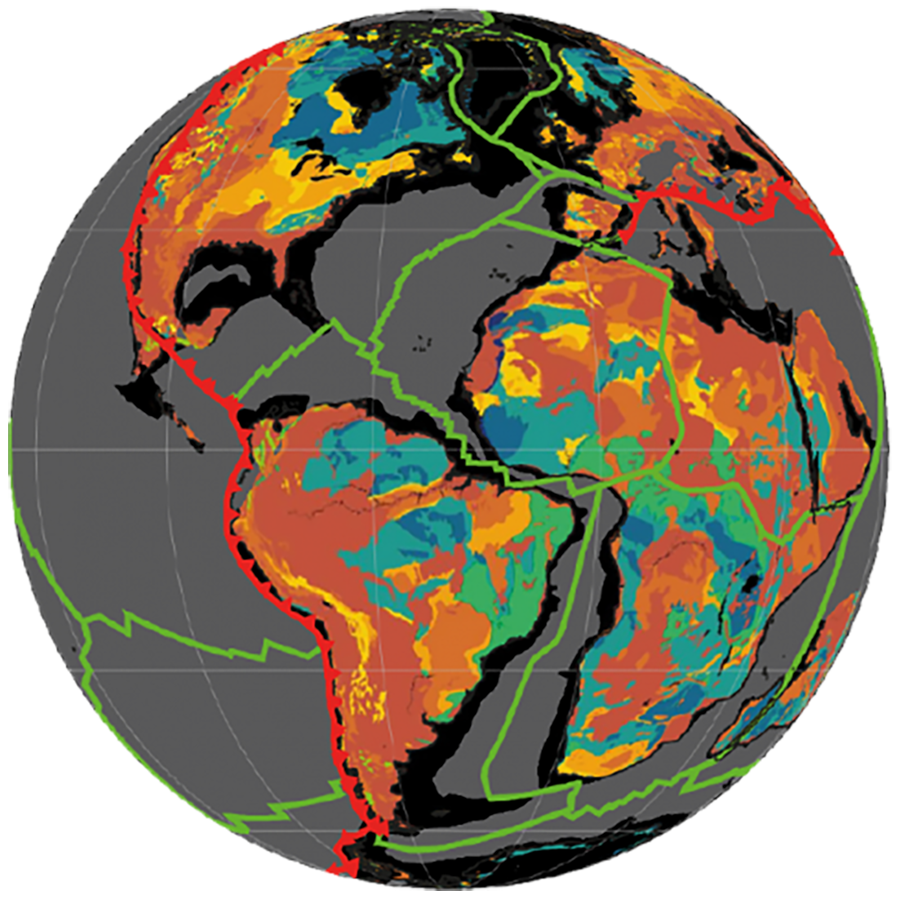
GPlates is a plate tectonics program. Manipulate reconstructions of geological and paleogeographic features through geological time. Interactively visualize vector, raster and volume data. PyGPlates is the GPlates Python library. Get fine-grained access to GPlates functionality in your Python scripts.

Hero 1Hero 2Hero 3Hero 4

What is GPlates?

GPlates is desktop software for the interactive visualisation of plate tectonics.

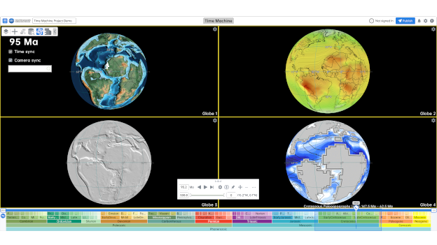
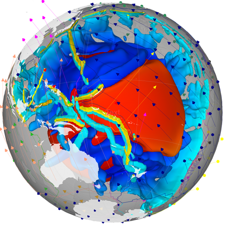
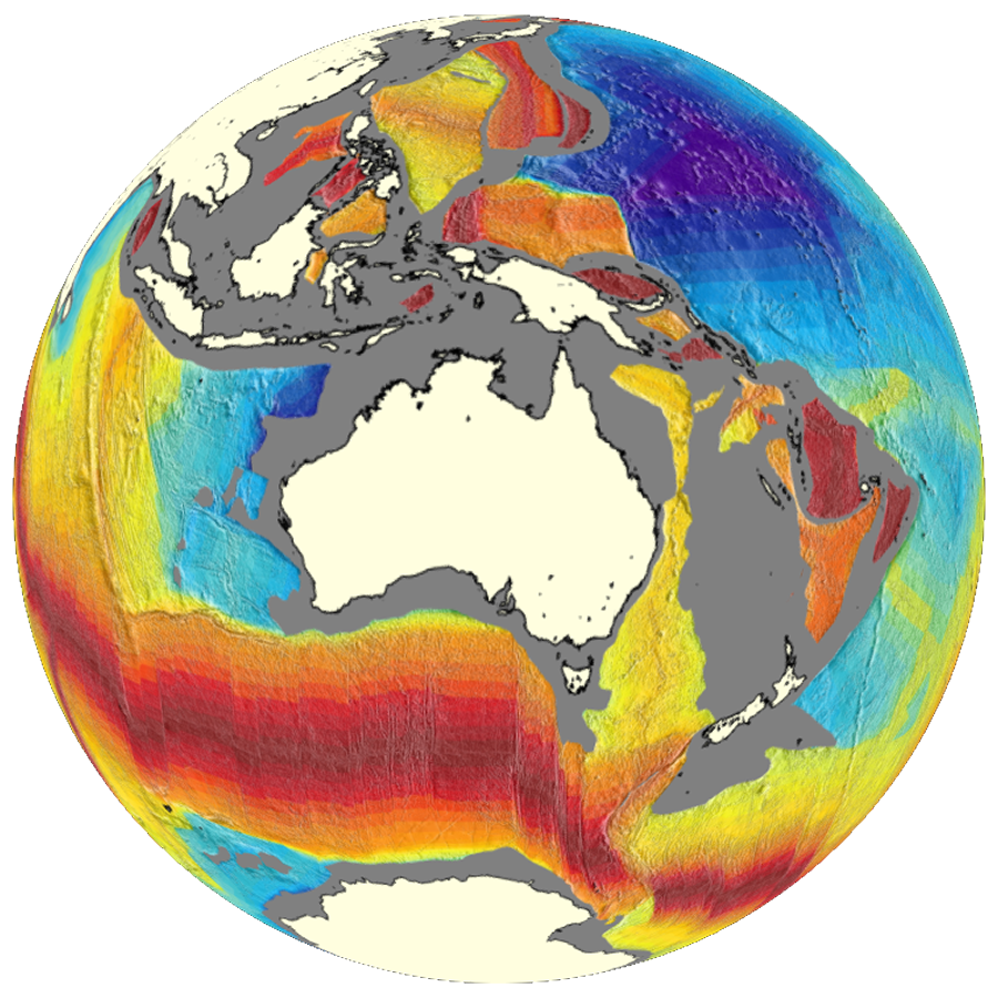
GPlates offers a novel combination of interactive plate tectonic reconstructions, geographic information system (GIS) functionality and raster data visualisation. GPlates enables both the visualisation and the manipulation of plate tectonic reconstructions and associated data through geological time. GPlates runs on Windows, Linux and macOS. GPlates has an online user manual.

GPlates and pyGPlates are both free software (also known as open-source software), licensed for distribution under the GNU General Public License (GPL), version 2.

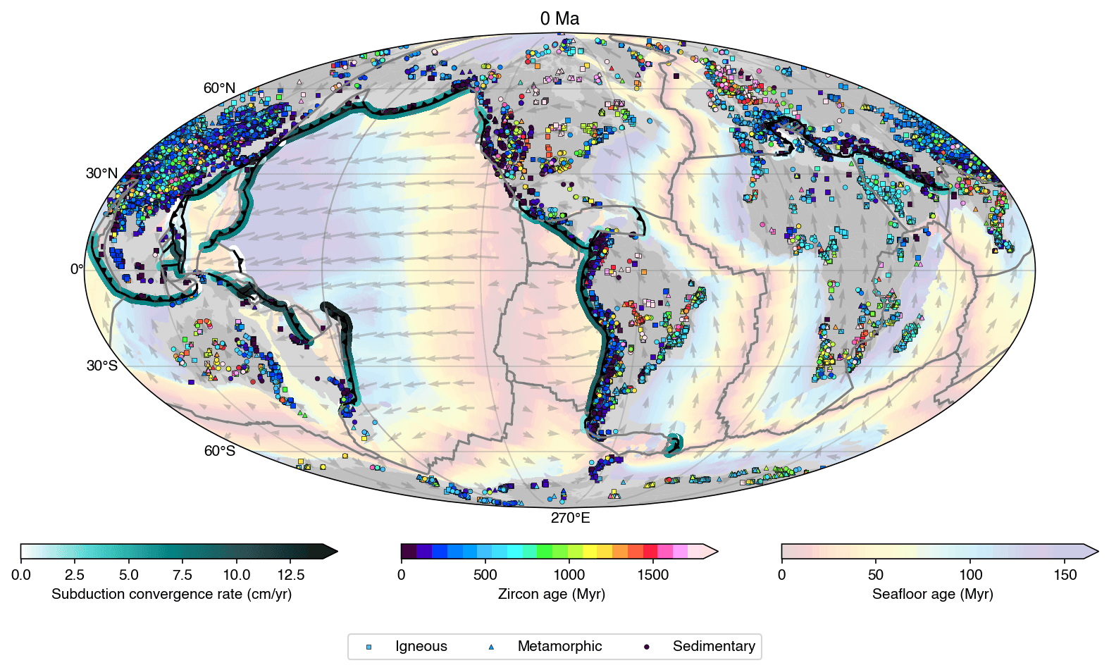
GPlately is a Python package which enables the reconstruction of data through deep geological time (points, lines, polygons, and rasters), the interrogation of plate kinematic information (plate velocities, rates of subduction and seafloor spreading), the rapid comparison between multiple plate motion models, and the plotting of reconstructed output data on maps.


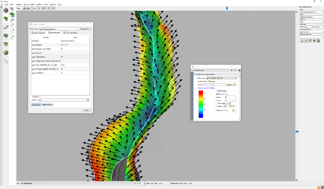
GPlates Screenshot

Why GPlates?

Open source and free

Easy to use

Fast and reliable

Extensive open-access data and models

Wide-ranging interoperability with other software

Used by educators, researchers, and industries

Professional software development team

GPlates Citation:

Müller, R. D., Cannon, J., Qin, X., Watson, R. J., Gurnis, M., Williams, S., Pfaffelmoser, T., Seton, M., Russell, S. H. J. ,Zahirovic S. (2018). GPlates: Building a virtual Earth through deep time. Geochemistry, Geophysics, Geosystems, 19, 2243-2261. https://doi.org/10.1029/2018GC007584

PyGPlates, PlateTectonicTools, GPlately Citation:

Mather, B. R., Müller, R. D., Zahirovic, S., Cannon, J., Chin, M., Ilano, L., Wright, N. M., Alfonso, C., Williams, S., Tetley, M., Merdith, A. (2023) Deep time spatio-temporal data analysis using pyGPlates with PlateTectonicTools and GPlately. Geoscience Data Journal, 00, 1-8. Available from: https://doi.org/10.1002/gdj3.185
GPlates Software Suite

pyGPlates Screenshot
The GPlates Python library (pyGPlates) enables access to GPlates functionality via the Python programming language.

PyGPlates

GPlately Screenshot
GPlately is a Python package to interrogate tectonic plate reconstructions.

GPlately

GPlates Web Service Screenshot
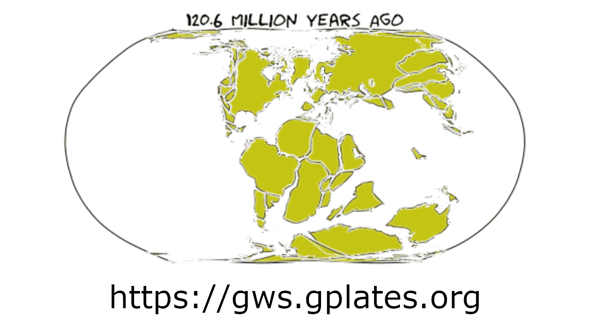
The GPlates Web Service interface allows users to access plate tectonics reconstruction services via Internet.

GPlates Web Service

GPlates Portal Screenshot
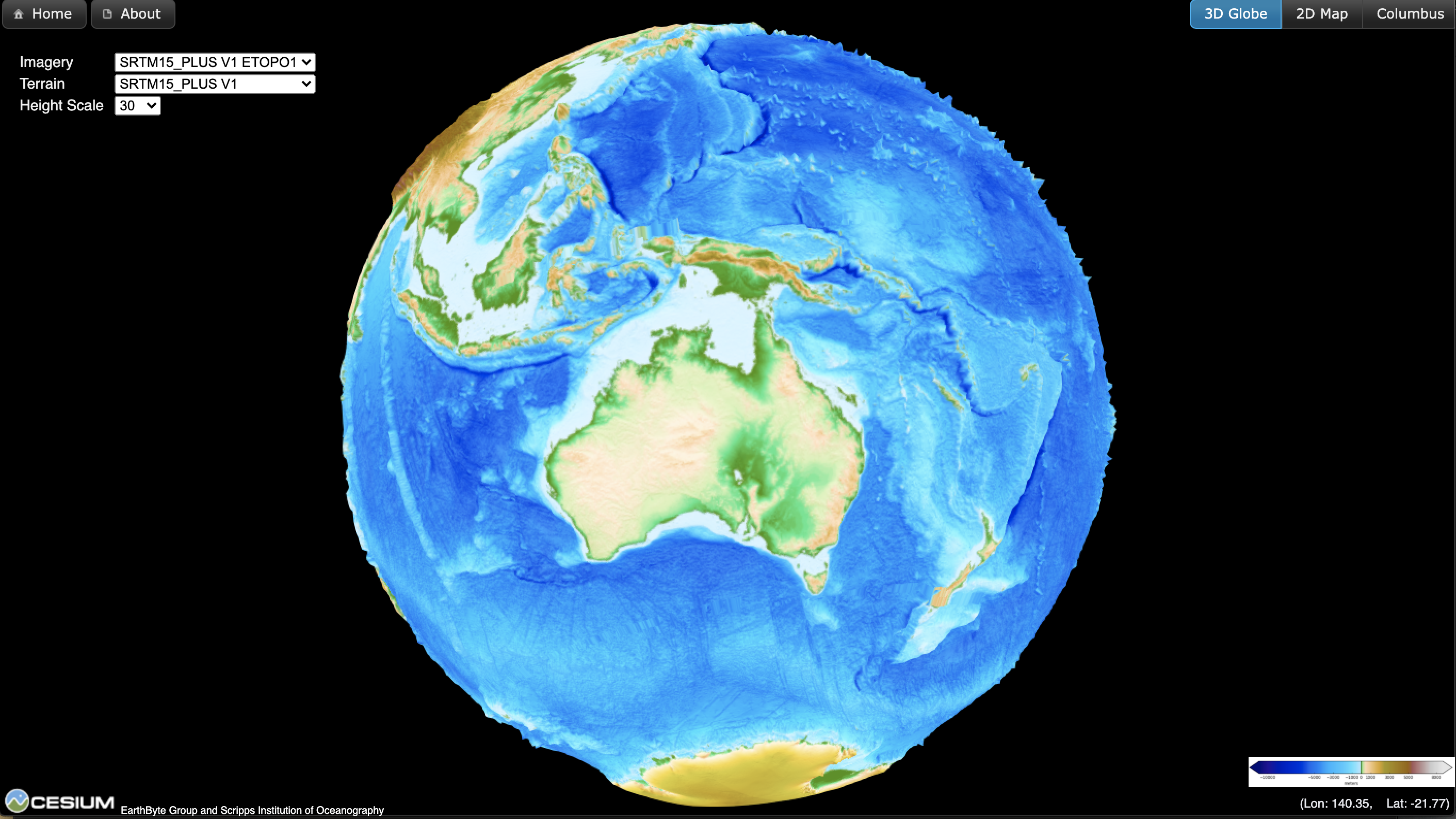
The GPlates Web Portal is a gateway to a series of web pages for the interactive visualisation of cutting-edge geoscience datasets.

GPlates Web Portal

GPlates App Screenshot
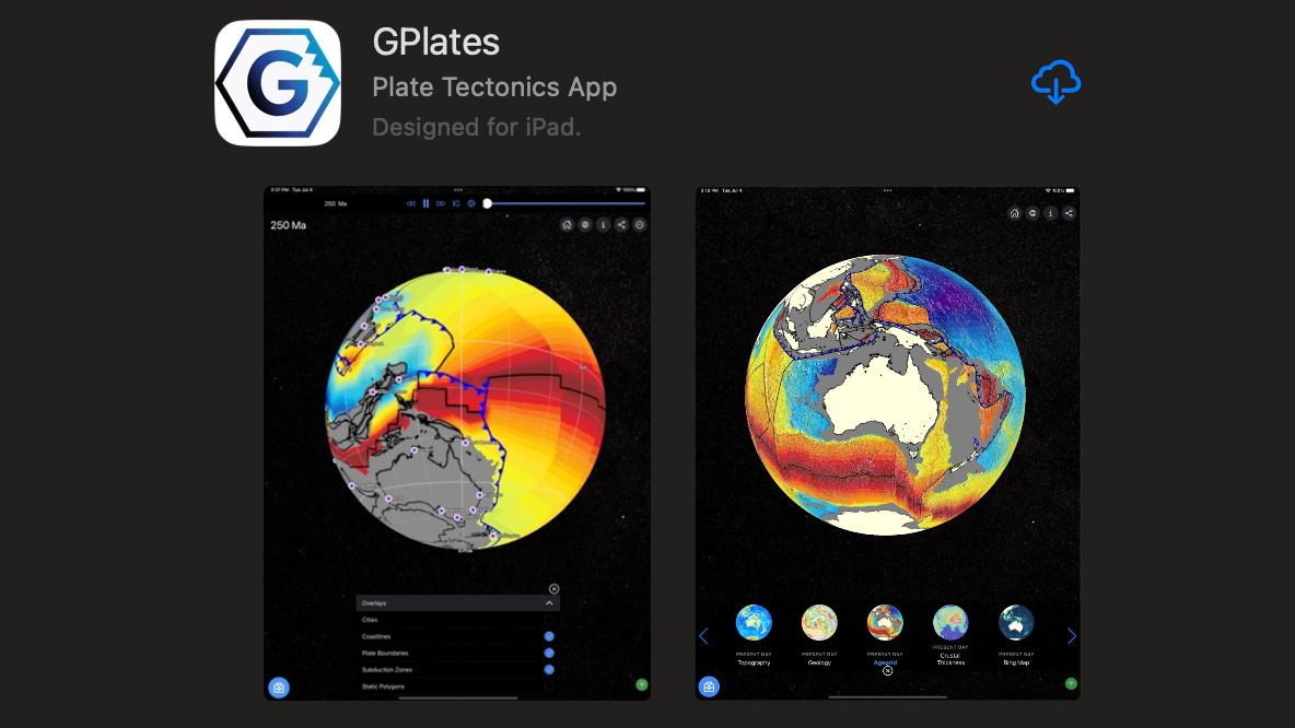
The GPlates Mobile App is a powerful tool designed to enable users to reconstruct and visualise spatial data through geological time.

GPlates Mobile App

Web GPlates Screenshot
The Web GPlates is a cloud-based platform, revolutionizing geoscience research by offering comprehensive tools for analyzing and visualizing deep-time datasets.

Web GPlates

rgplates banner
The rgplates is a R interface for the GPlates Web Service and the GPlates Application.

rgplates

Who are we?

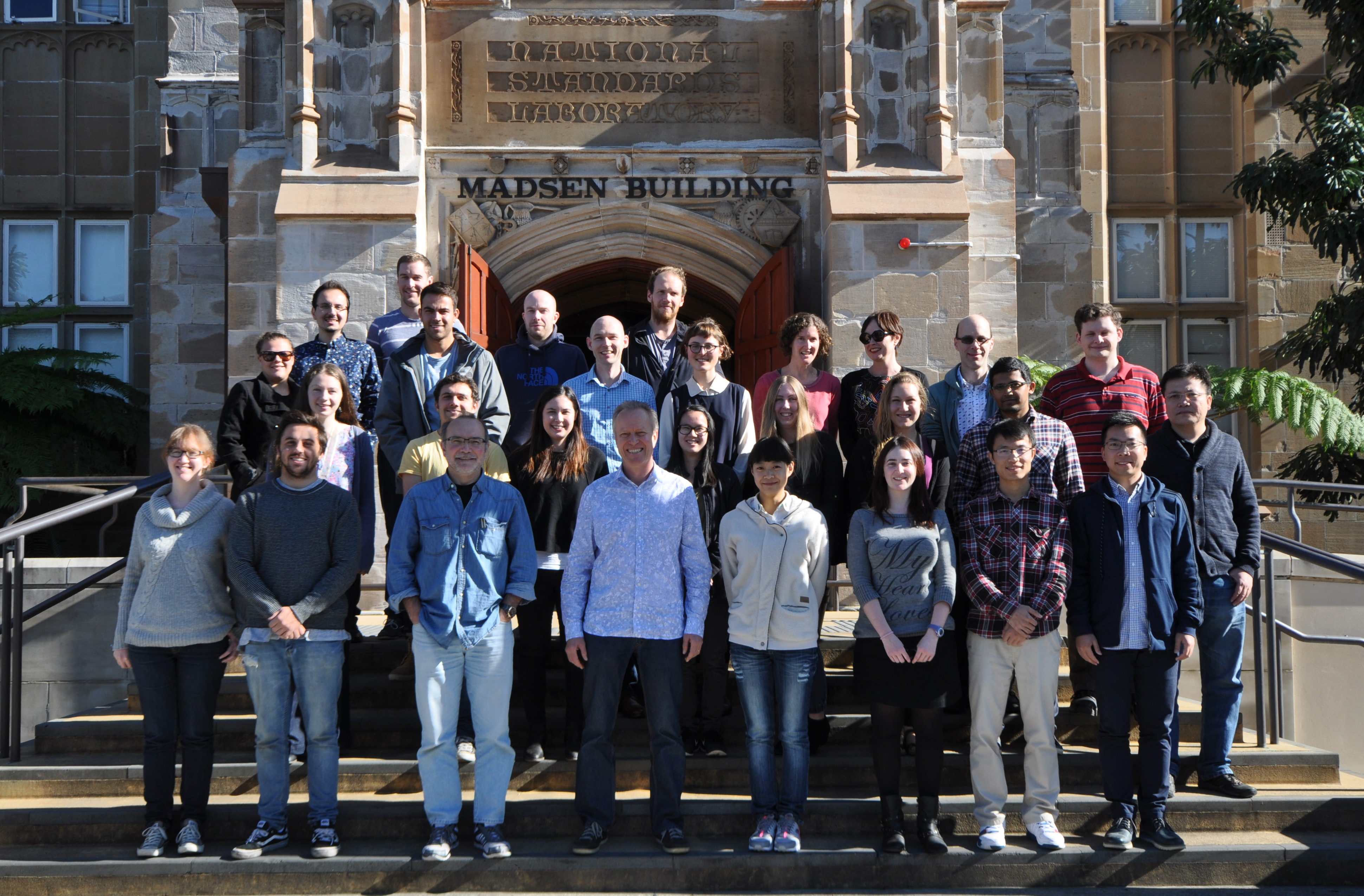
EarthByte People

Funded by AuScope

AuScope Logo

Latest News


PyGPlates 1.0.0rc1 released

December 13, 2024

PyGPlates 1.0.0rc1 released

PyGPlates enables access to GPlates functionality via the Python programming language.

Install PyGPlates 1.0.0rc1:-

PyGPlates can now be installed using conda or pip.

Please see the installation instructions<


Adds subduction teeth.


Adds Scientific Colour Maps.


Eureka Prize finalist announcement and new home for source code


Adds reconstructing points using topologies.